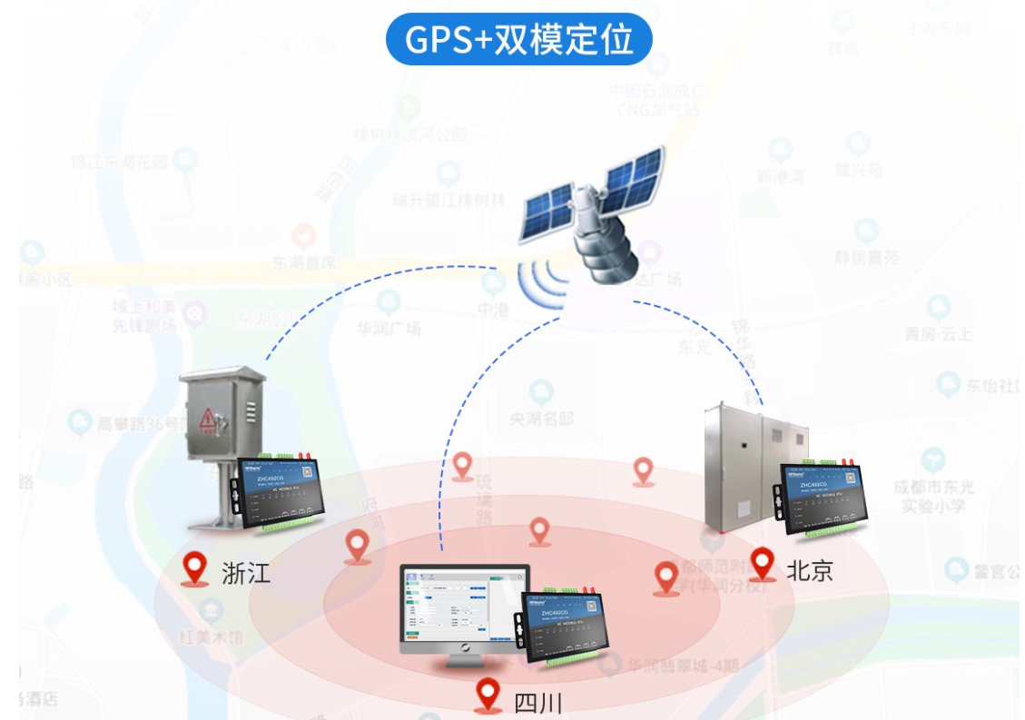
The ZHC492CG developed by Zongheng Intelligent Control is a 4G industrial-grade positioning module that uses Beidou GPS dual-mode positioning. At the same time, this product supports 4 channels of dry (wet) node detection, 4 channels of relay (COM, NO , NC) output, 4 channels of analog quantity (current 4~20mA) detection, 1 channel of RS485 transparent transmission network IO products, and is compatible with Modbus RTU/TCP protocol. With “remote control” as the core function and high ease of use, users can easily and quickly integrate it into their own systems to achieve remote and local control based on LTE and RS485.
Product Features:
√ Support JSON, Modbus RTU/TCP
√ 4 relay outputs
√ 4 DI (dry/wet node) inputs
√ 4 analog (current) inputs
√ TCP_Client/ MQTT_Client
√ Set time point to trigger action
√ Cloud forwarding, cloud networking
√ Local logic, inter-device logic
√ Network registration package, heartbeat package
√ Hardware watchdog
√ Data triggering and regular reporting
√ Remote configuration and remote upgrade
√ The host computer supports import and export of configuration files

On December 27, 2021, the Chinese government announced to the world that the Beidou Navigation Satellite System (BDS) will officially provide high-quality all-weather navigation, positioning, timing and speed measurement services to the Asia-Pacific region for free from now on [1]. The Beidou system is an independently developed and independently operated global satellite navigation system that is being implemented in my country. It is planned to be fully completed in 2020. It will cooperate with the United States’ Global Positioning System (GPS ), Russia’s GLONASS, and Europe’s Galileo satellite navigation system. (Gali-Leo) has been identified as the world’s four major satellite navigation systems by the International Committee on Global Navigation Satellite Systems (ICG).
Our country is accelerating the construction of the Beidou satellite navigation system, and is gradually transitioning to a service system in which Beidou satellite navigation is compatible with other satellite navigation systems for important industries and fields involving the national economy and public security. Foreign companies use their Accumulated advantages in technology, products and brands in the field of GPS to compete for the Chinese market [2]. To complete the promotion and application of Beidou in the field of national economic security and the rapid promotion in the mass market in a relatively short period of time, the first step is to design a receiver chip with core independent intellectual property rights [3]; the second step is to quickly launch pin size compatible, The Beidou module with compatible interface protocol, comparable power consumption and affordable price can replace the GPS module in situ.
The GPS module can be divided into three parts: RF unit, engine unit and CPU processing unit. The development of GPS chips is the process of integrating these three units. First generation: 1990s, 3-stage design, low integration, three parts of the circuit are discrete chips, as shown in each module in Figure 1; Second generation: late 20th century, 2-stage design, LNA , filters, mixers, frequency synthesizers and oscillators are integrated into one RF chip; baseband processing integrates the engine, CPU, memory, power management and clock, etc.
Keywords: 4G RTU